It doesn’t happen every day that the first pages of a city’s history, the very beginning, have to be rewritten. Not so long ago this was the case for Amsterdam.
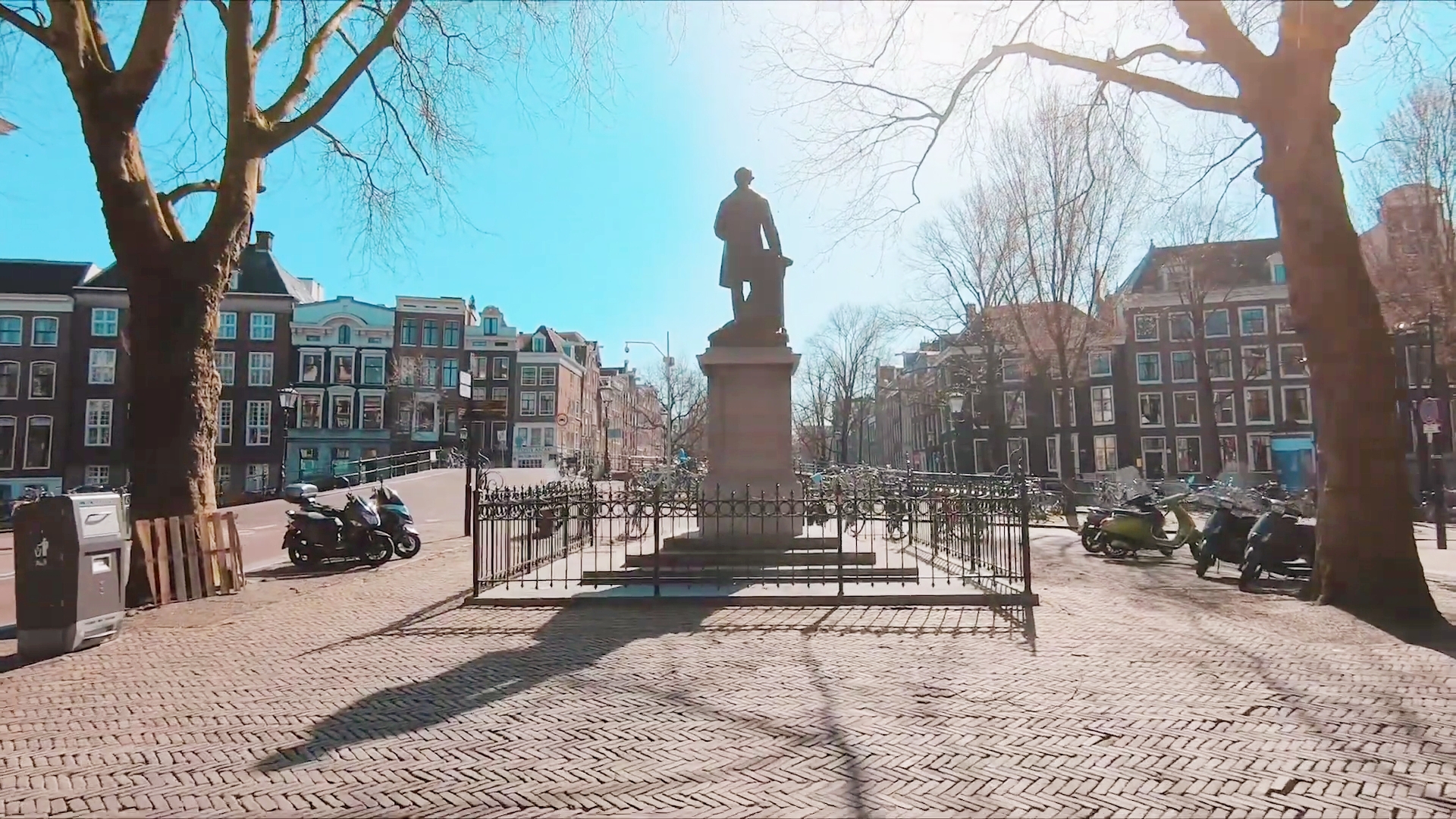
The official written history of Amsterdam goes back to the year 1275. Then ‘people living around the Dam in the Amstel’ were exempt from toll payments on the waterways of Holland. We will come back to the Dam in a later blog. For the history of Amsterdam before that first document, one has to rely on archaeological findings and circumstantial evidence of habitation.
Digging in the mud
In July 2018 a masterpiece of civil engineering opened up for the public. The Noordzuid-lijn. The metro line with eight stations linking the north of Amsterdam with the south. It crosses the very heart of Amsterdam, right underneath the Dam in river Amstel that gave the city its name.
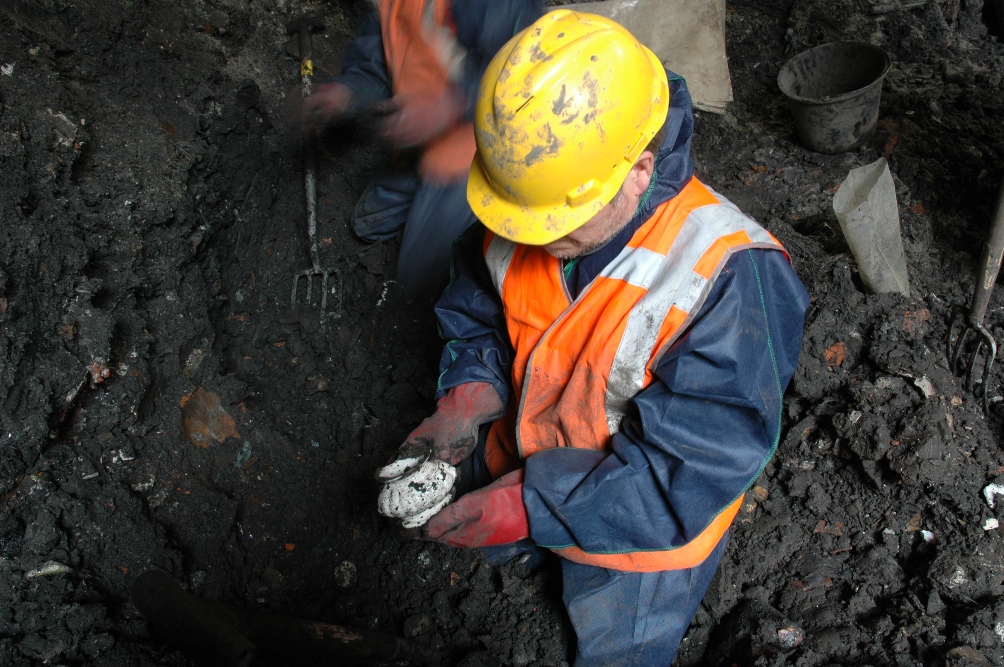
The drilling took place through the notoriously soft soil. Amsterdam is built in a swampy river delta. This has made numerous houses lean forward. At an early stage of the construction work a team of archaeologists was send underground to peel off Amsterdam’s history layer by layer. They dug up a goldmine of 700.000 archaeological discoveries that have provided a better scope of the city’s beginning. Here’s a reconstruction:
Neolithic Amsterdam?
About eleven meters below the surface of the Rokin, just south of the Dam and now a metro entrance, evidence was found of the oldest waterway. This forerunner of the Amstel river was a result of the last ice age and formed a T-shape with the pre-IJ water, which in turn was a river running westward flowing into the North Sea. Just above this eleven meter layer, neolithic pottery, arrow points and grindstones have been found, dated between 2600 and 2000 BC. Clear evidence of human activity. Is Amsterdam that old?
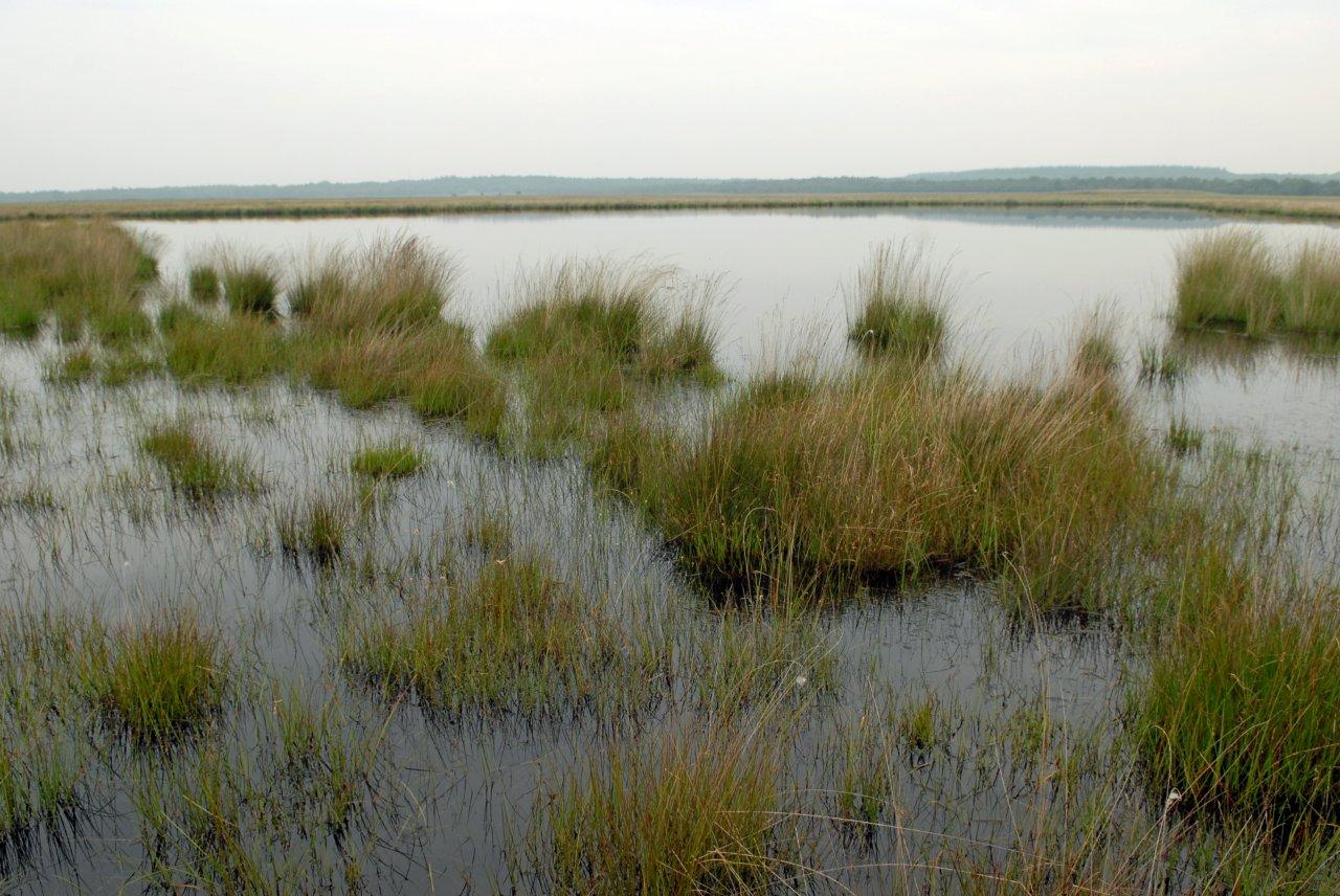
No. These findings prove human presence or – at best – temporary settlement in dry times. So far no graves or manure ore have been found dating that far back. The muddy terrain shaped by the influence of the North Sea tide, with its ever changing wetlands and creeks of brackish water, was probably too uninviting for permanent settlement.
Changing tides
Another layer, closer to the surface, reveals a new era of fresher Amstel water. This implies a faster current and less tidal influence. The era between 1000 and 300 BC – coinciding with the late bronze age – yields far less archeological finds. The water flows changed drastically, leaving a brackish estuary that would later on evolve into a boggy peat swamp. Along the rivers around today’s Amsterdam the first evidence of permanent settlement dates from this time. Amsterdam? Still no trace of it.
In a next episode we will zoom in more specifically on the Roman times in relation with Amsterdam. A little spoiler: no, there is still no permanent settlement in historic Amsterdam.
Breakthrough
The literal breakthrough for Amsterdam came in 1170, when the All Saints’ Flood washed away a lot of the northern and western part of the Netherlands. This disaster had far-reaching consequences. The inhabitants of the region decided to protect what was left of their land with dikes and dams and they erected a seawall that stretched out for dozens of kilometers. It’s hard to imagine how so few people could have accomplished such a massive project. A project that would eventually shape the current day Netherlands. Now the mouth of the river Amstel had a good seafaring connection with the North sea via the enlarged IJ, connected with the more eastern newborn Zuiderzee estuary – the current IJsselmeer – towards the Wadden Sea and North Sea up north.
In the meantime south of today’s Amsterdam, upstream of the Amstel river, settlements arose benefiting from the peat-lands alongside the stream. The peat – or turf – was dug up to function as fuel. The water that was left behind drained into the Amstel until the soil sank below the river level. From then windmills were needed to pump the water away, in order to regain land.
Both north and south of the Amstel an extended network of waterways made the river mouth more and more strategic as a local trading hub. The series of dams and dikes that had been constructed in order to avoid a repetition of the All Saints’ flood, also included a dam in the Amstel. A safe and strategic location to settle: the humble beginnings of Amsterdam.